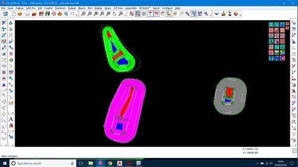
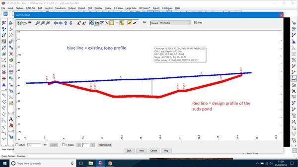
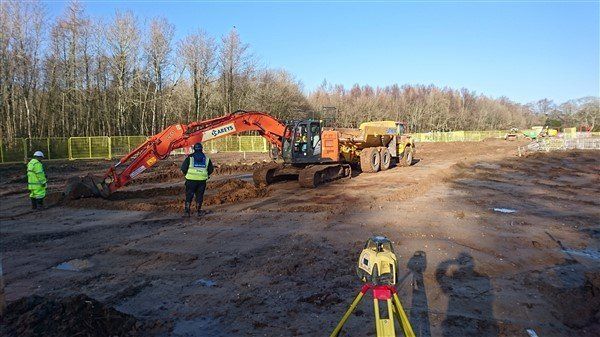
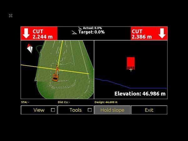
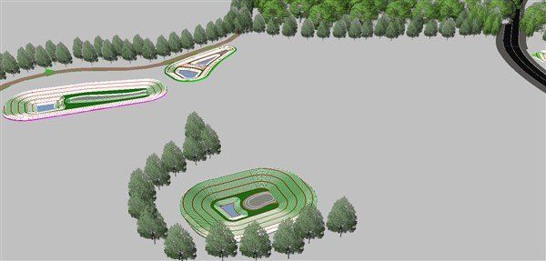
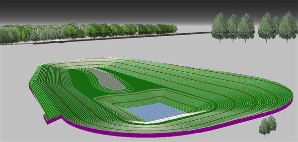
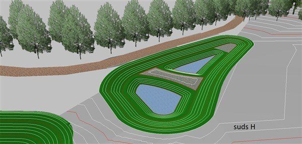
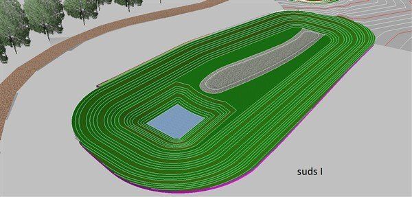
Berewood Waterlooville Suds ponds - Jan / Feb 2018

The Challenge

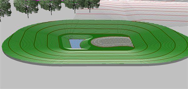
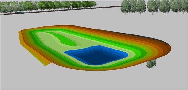
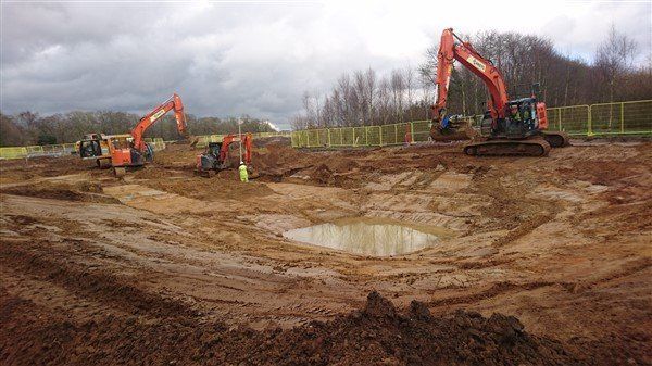
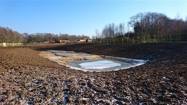
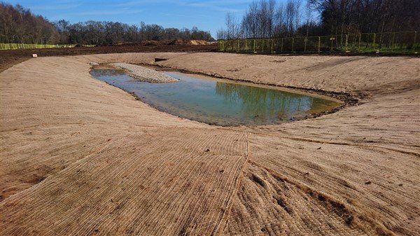
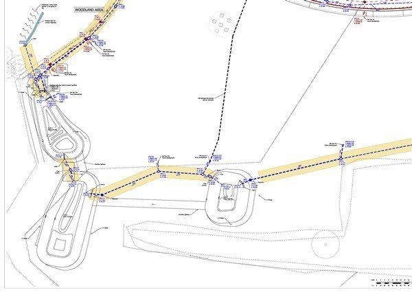
This is the engineers drawing for a couple of the suds ponds that we are digging out. The requirement here for me was not only to set everything out , but to quantify the arisings to allow pricing for its movement elsewhere on the development

The first tasks to do were to create 2 surveys. I carried out a pre start original ground level survey of the area,  then created the 3d models from the engineers drawings. 

By applying surface depths to the surfaces, LSS can compare two surfaces and provide a very accurate volume. 

This section through shows the 2 surveys and the relationship between them. The blue line is the existing ground levels survey, the red is the design profile of the pond. The volume can be calculated from this.

I then applied textures to the features and this is the 3d view. These where very handy for the machine driver and operatives to visualise what they were digging

This is the 3d view of one of the ponds the machine driver has

Starting suds I dig. Make it appen Peter Popescu!

Progress....

The deep bit has a bentonite liner in. The rest is topsoiled with hessian matting and grass seed with a pebble beach feature in the middle.

Having created the model I exported it to Leica Icon similator and this would have been what the operator would see if we had gone down this route. I did because I can!