Stockpile Volumes

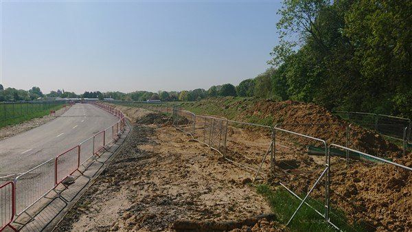
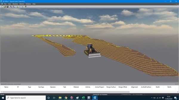
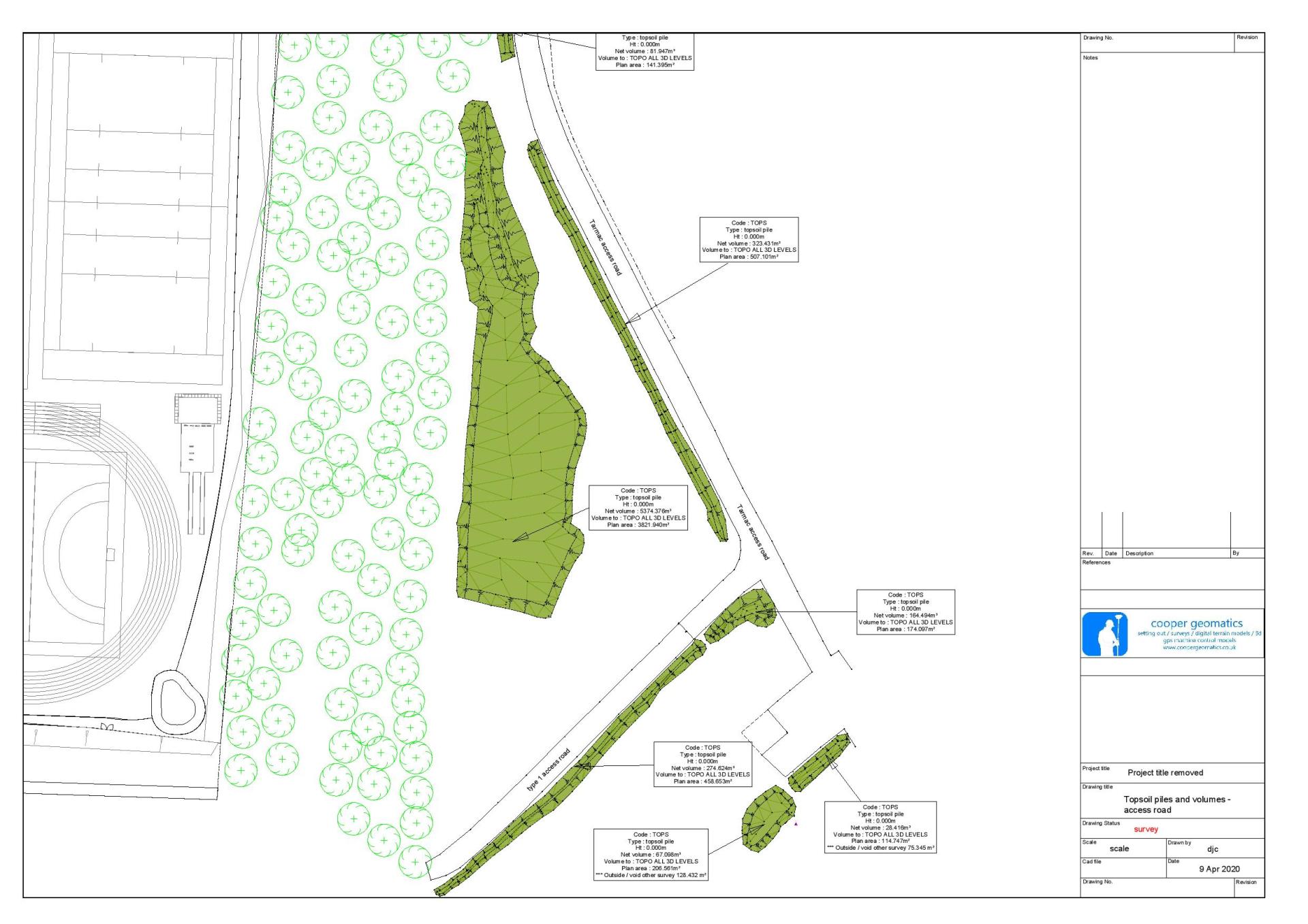
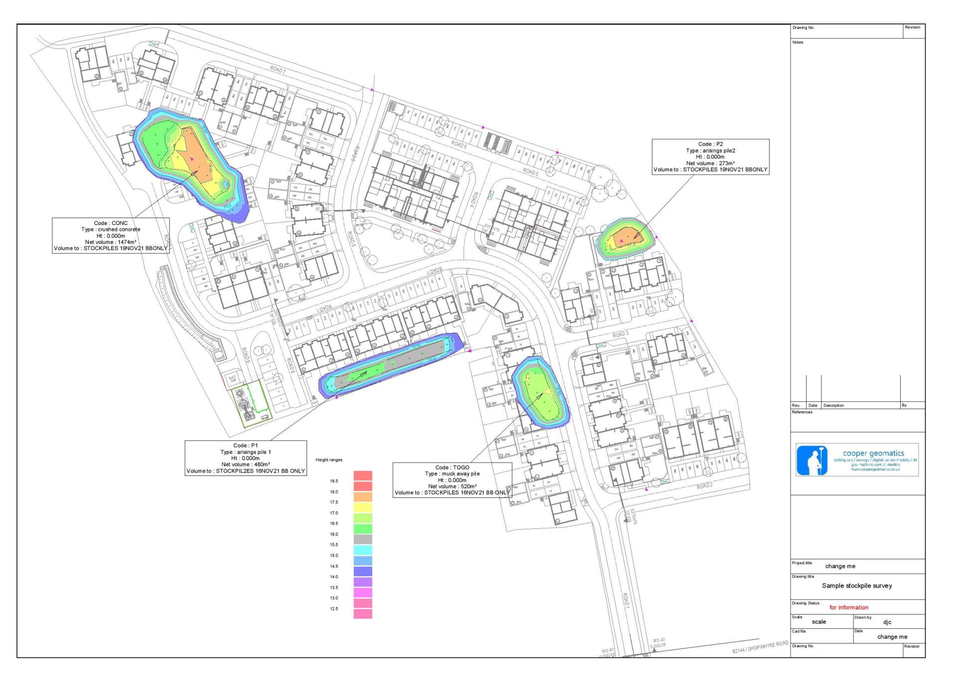
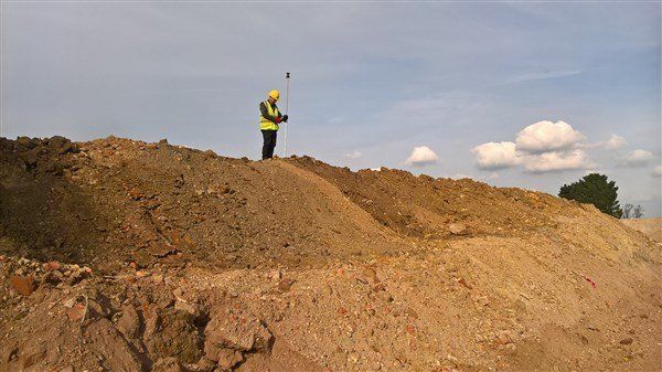
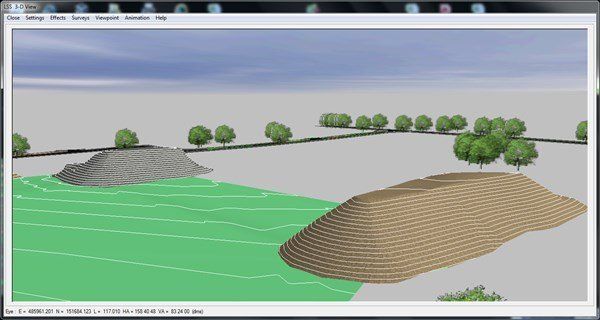
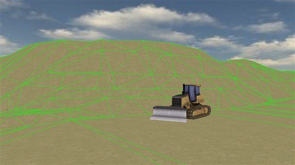
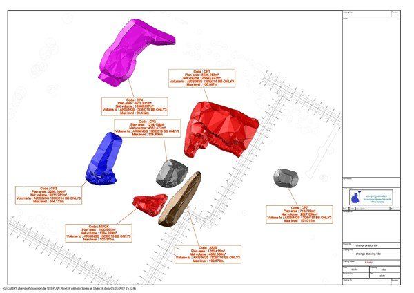
Every site I have been on in the last 10 years  has asked me to quantify stockpile volumes. Whether that be arisings, topsoil, crushed material. On occasions we have had been able to take from stockpiles of crushed and 6f2 that have been generated from demolition of existing buildings  on the plot, so i have been asked to quantify and report on our usage. 

Some sites have kept their arisings on site, so I have had to survey and report so decisions (by commercial team) on where and how much it will cost to move to other parts of the developments.


Fortunately for me the sites I have been on I can survey the stockpiles with my instrument or the GPS rover. I havent needed to use laser scanning or drone technology yet.....but it wont be long!


Anyway I quite enjoy walking round surveying the bottom, the top and processing the data


coopergeomatics stockpile survey

I was asked to survey the topsoil piles on site. It was a nice day so i just used my trusty ts15 and walked all round the piles. There were actually 8 piles dotted about.

coopergeomatics lss 3d view stockpiles

This is the LSS 3d view of the same piles. I could use the volume app on my handset but I prefer to use LSS as I can compare it to the topo surface 

coopergeomatics topcon 3d office

This time I'm using Topcon 3d Office to show the same stockpiles. I like using this - with the dozer on you can get a bit of perspective

I recently aquired Trimble earthworks simulator and this is the same visualisation. Different gravy altogether!

coopergeomatics stockpile survey

This shows the stockpile volumes. As I had the topo survey I could use LSS to compare the stockpile with the original ground levels, which is more accurate than just removing the stockpile shape and using the bottom of the slope as the ogl.


Examples of stockpile survey
stockpile survey
coopergeomatics stockpile survey