3d GPS Machine Control
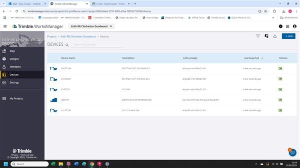
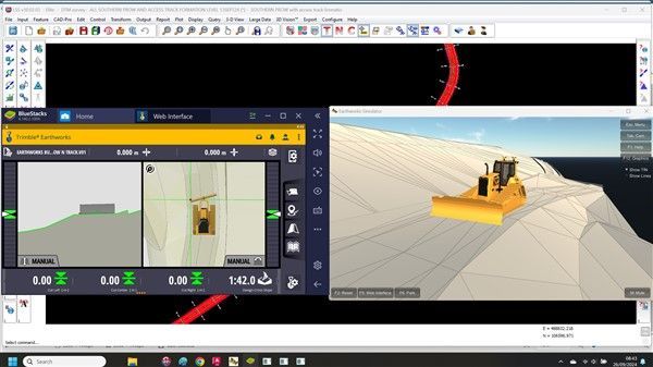
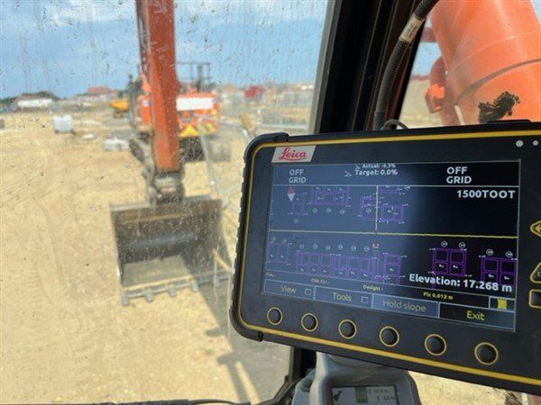
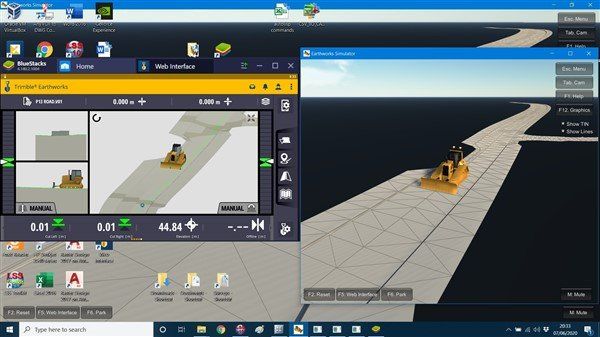
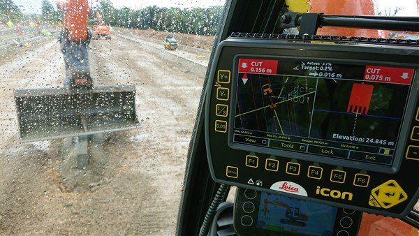
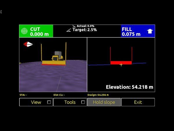
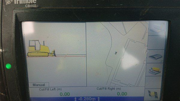
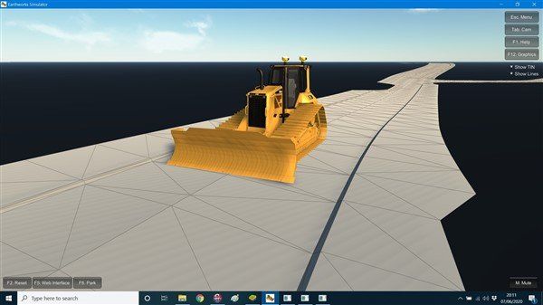
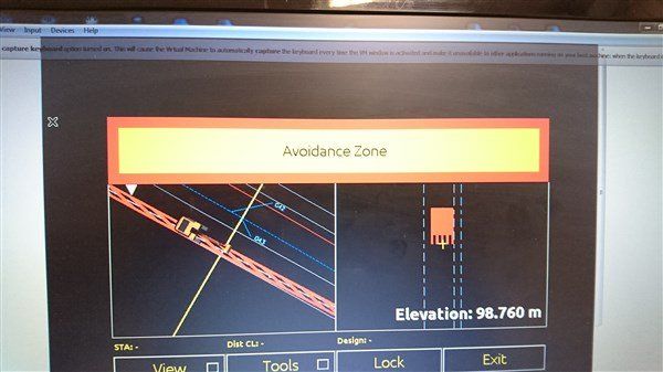
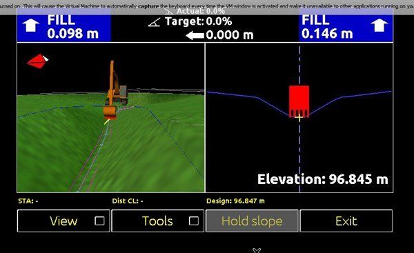
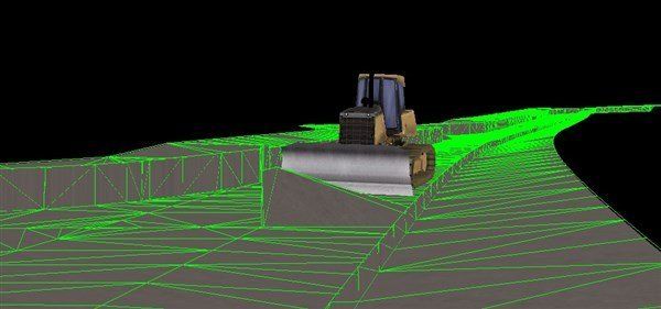
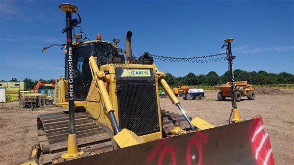
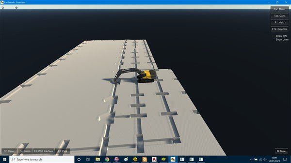
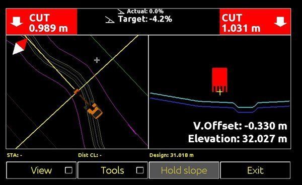
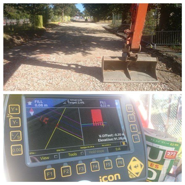
I can create, simulate, check and upload machine control files and models for Leica, Topcon & Trimble systems. I have simulators of all 3 main systems so I can check the data is good before uploading to the machine. The gallery below shows some of the models I have created. Cooper Geomatics has invested in the specialist software to be able to do this. For the last year I have been converting files from LSS through Trimble Business Centre and then using Works Manager to upload files directly to the machines - fancy stuff!!
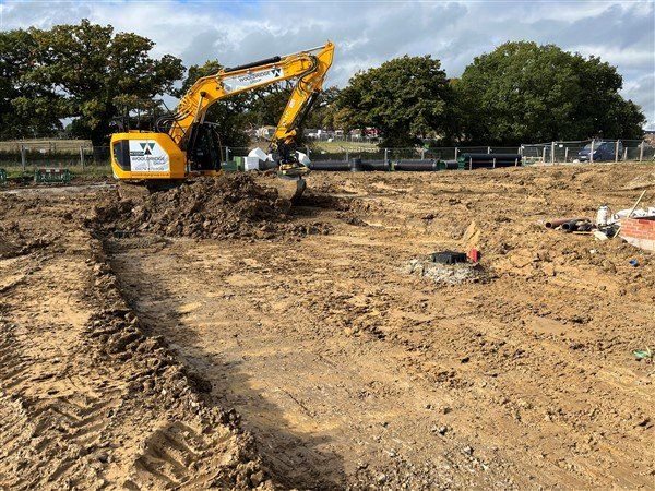
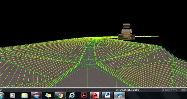
- Service road, car park reduce and pile platforms using Cat grade for Erith
- Large attenuation tank dig for Erith
- Pads and groundbeams for cmc pile dig out for Erith
- 660m foundation for reinforced soil walls for Erith
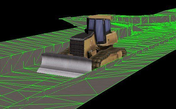
- 740m footpath fill to formation using Cat Grade (Trimble Earthworks) for Erith at Chichester
- Entrance and access road for Erith
- Earthworks fill and bunds for Erith
- Topsoil placement for Erith
- Various platforms for Erith
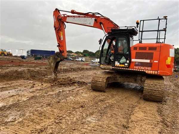
- Foundations for plots using Leica Icon for Wooldridge at Minerva Heights
- Road box dig out, stoning up and service crossings using Leica Icon for Wooldridge at Minerva Heights
- Pile mat surface models using Leica Icon for Wooldridge at Minerva Heights
- Car Park surface model for dozer using Trimble for Harringtons at Deer Park School
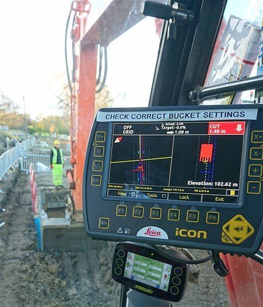
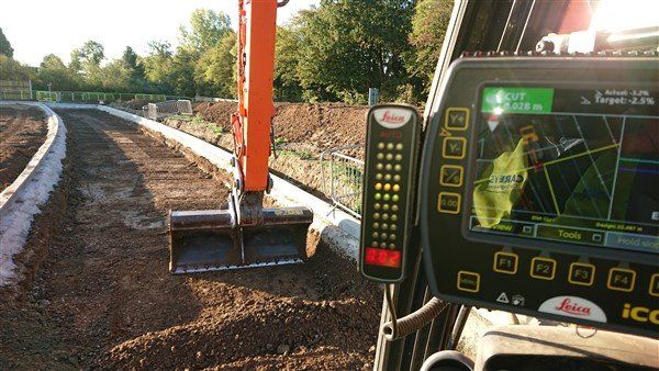
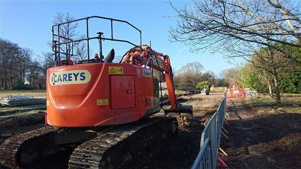
- Ducting, kerbs and surface model for excavators and dozer using Leica at RRMC car park for Careys
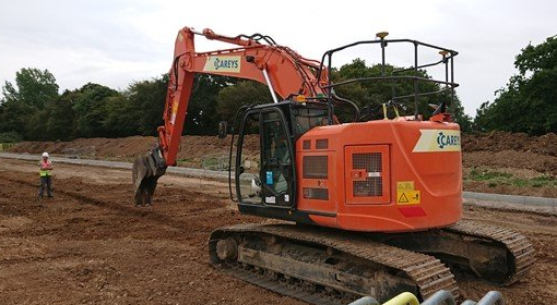
- Ducting, kerbs, drainage and surface models for excavator using Leica for Infrastructure for Careys
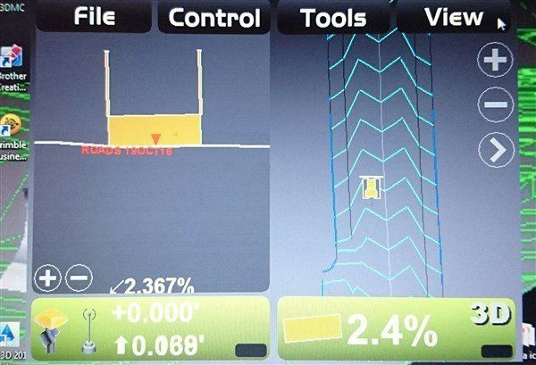
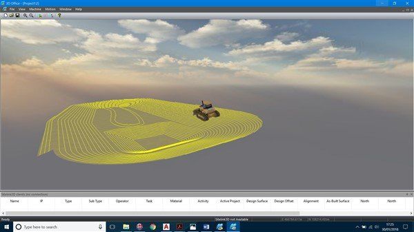
- Surface model for roads using Topcon 3dmc for Careys
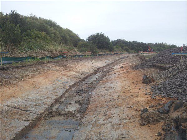
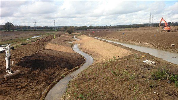
- Surface model for drainage channel using Leica for 4Delivery
Even if we arent using machine control I'll create the model anyway because I can and it makes me better at it!